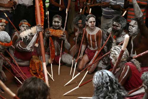
The people who live in the Miwatj or north-east Arnhem Land region are known generally as Yolngu, which simply means 'people'. They belong to a number of intermarrying clans that are also closely related culturally and linguistically.
The main clans are the Rirratjingu, who are the focus of the exhibition, Djapu, Marrakulu, Ngaymil, Galpu, Djambarrpuingu, Marrangu, Datiwuy and Djarrrwark of the Dhuwa moiety: and the Gumatj, Dhalwangu, Manggalli, Madarrpa, Munyuku, Warramirri, Wangurri, Gupapuyngu and Ritharrngu of the Yirritja moiety.

Today the Yolngu live mostly in the settlement of Yirrkala or in the 25 or more outstations or homeland communities scattered throughout a 200 kilometre region. Thanks to the land rights struggle initiated largely by the Marika family with other Yolngu, the Miwatj region is now Aboriginal-owned land.
There are many famous Yolngu politicians, artists, singers and dancers who have worked hard to promote Indigenous culture to a global audience.
They first gained national attention for their historic land rights struggle, and their rights regarding commercial and recreational fishing in tidal waters was recently recognised in the Blue Mud Bay decision.
Through their art projects like the Yalangbara: Art of the Djang'kawu exhibition the Yolngu continue to assert their identity and title to land.
Yolngu and the Macassans
Before the coming of Europeans, the Yolngu's first significant outside contact was with the Macassan trepang fishers who visited north Australia from at least the 18th century until the trade was banned in 1907. During this time they developed long-term trading and working relationships with many Yolngu people who helped them obtain other commodities like pearl shell, turtle shell and timber.
The Yolngu also obtained goods from the Macassans such as tobacco, cloth, axes, steel knives, and dug out canoes. They also adopted many Bahasa Indonesian words and incorporated elements of their Macassan encounter into their rituals and mythology.
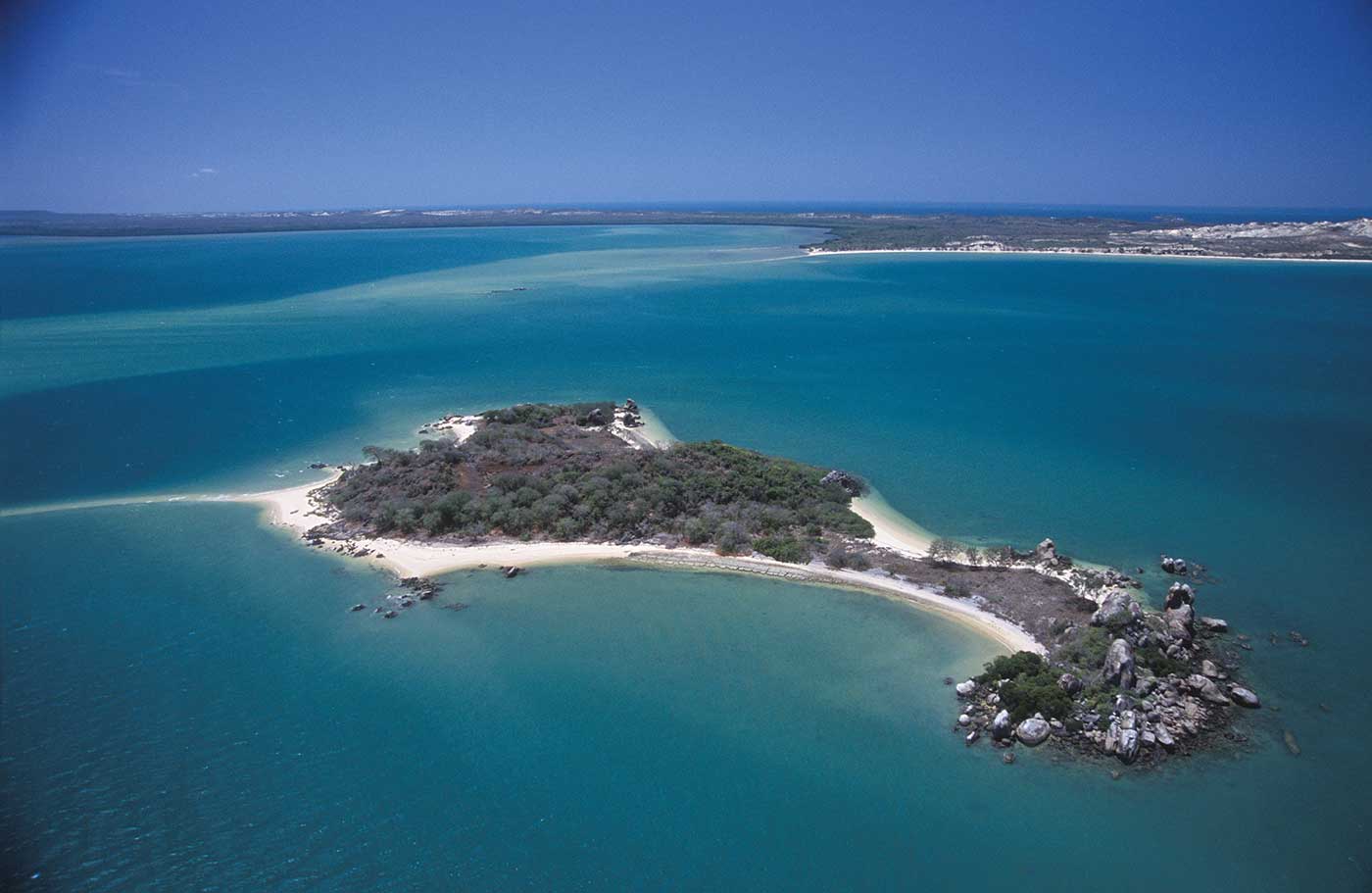
The most important myth for the Rirratjingu is about the Bayini, a Macassan-like people encountered by the Djang'kawu on Wapilina Island. Wapilina in reality was the largest and most significant Macassan trepang processing camp in north Australia which was subsequently used by various European trepang fishers because of its ideal location.
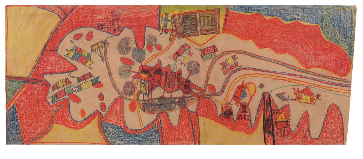
This contact was in living memory of artists such as Mawalan 1 and his brothers, Mathaman, Milirrpum and Roy Marika, who often depicted Macassan scenes in their artwork. The most remarkable of these is the large crayon drawing by Mawalan 1 that illustrates the sea route and camping places of the Macassans in and around Wapilina, alongside those of trepanger Fred Grey and the Djang'kawu ancestors.

