![Herbert Basedow with horses and a wagon on the plains east of Lyndhurst, South Australia 1907. He stands at the front of a horse-drawn wagon, facing the camera. The wagon faces to the right of the image, as do the two horses harnessed to it. Basedow wears trousers, shoes, a long-sleeved shirt and a hat. He rests his right hand upon some expedition equipment on the buggy. The gound around him and the wagon is covered in patchy grass and rocks. A flat, featureless plain extends away behind Basedow all the way to the horizon. The sky takes up about the top third of the image. - click to view larger image](https://www.nma.gov.au/__data/assets/image/0006/766347/MA22996076-A-Different-Time-Flinders-Ranges-1200w.jpg)
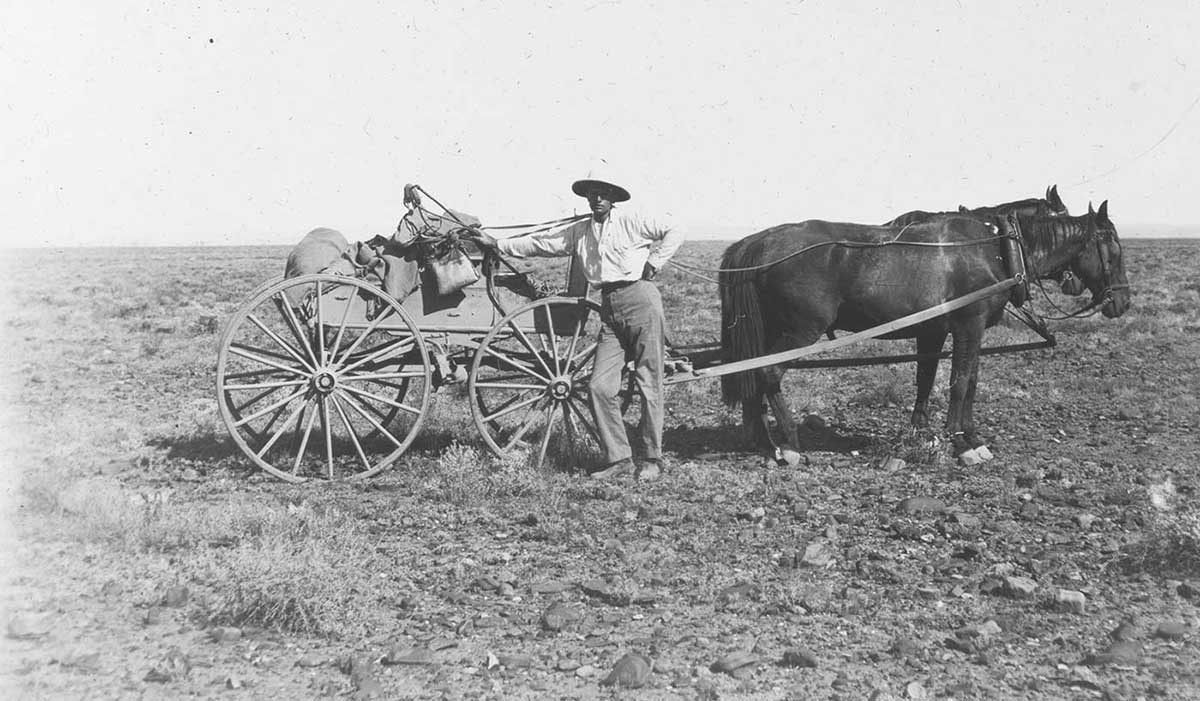
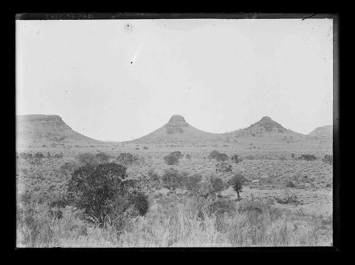
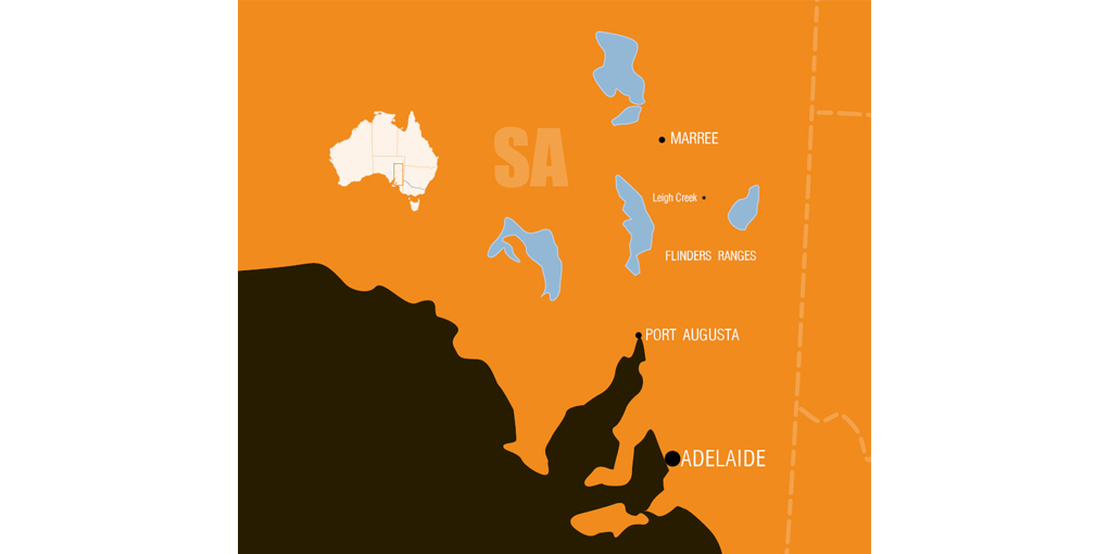
Herbert Basedow carried out six field trips to the Flinders Ranges region of South Australia between 1905 and about 1913.
His initial visits were primarily geological investigations on behalf of the South Australian Mines Department. Later trips may have been to continue his investigations of Aboriginal rock engravings that he had seen in the region.
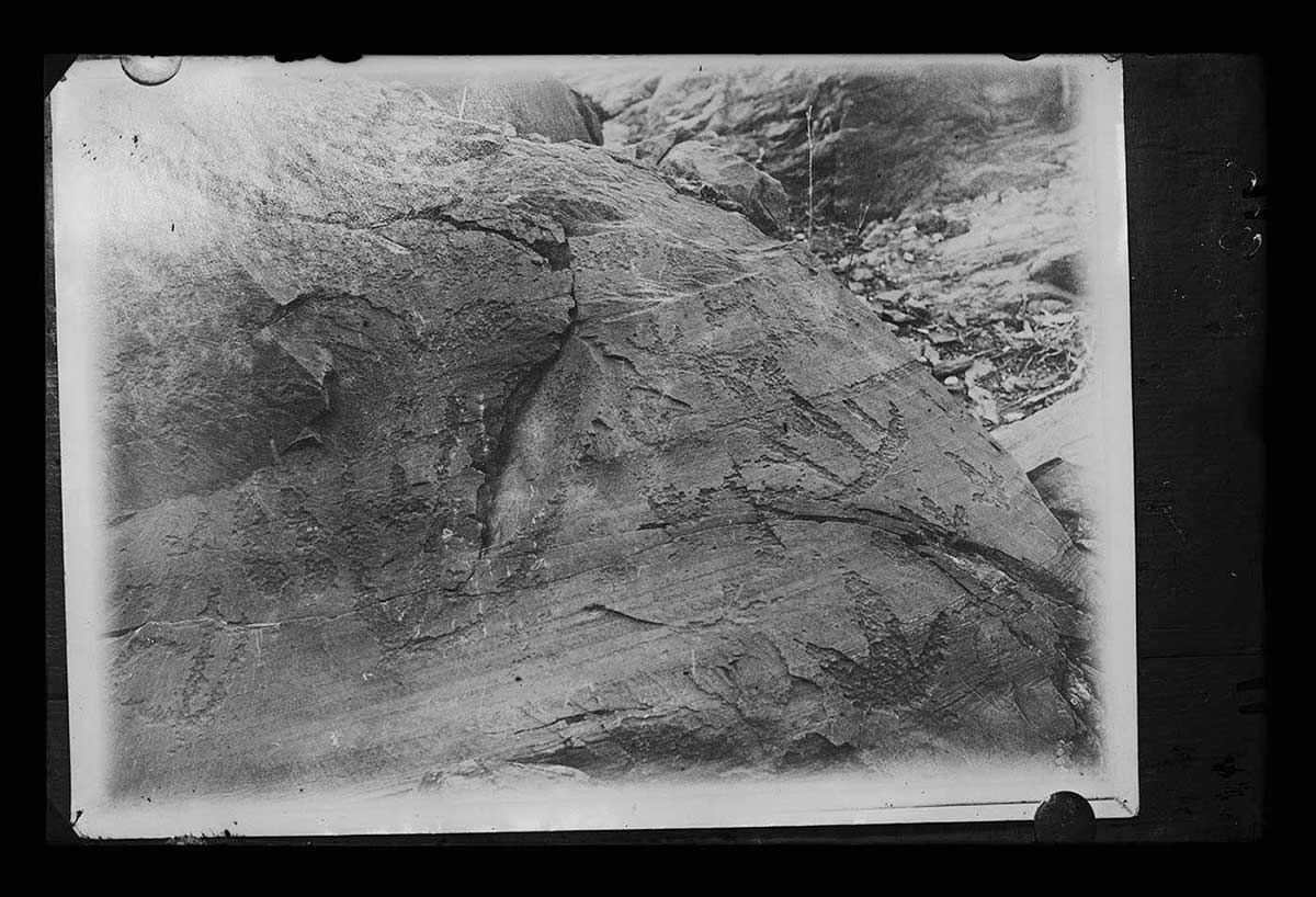
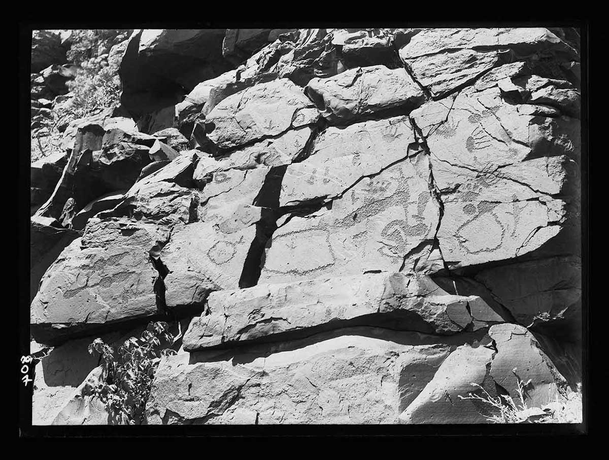
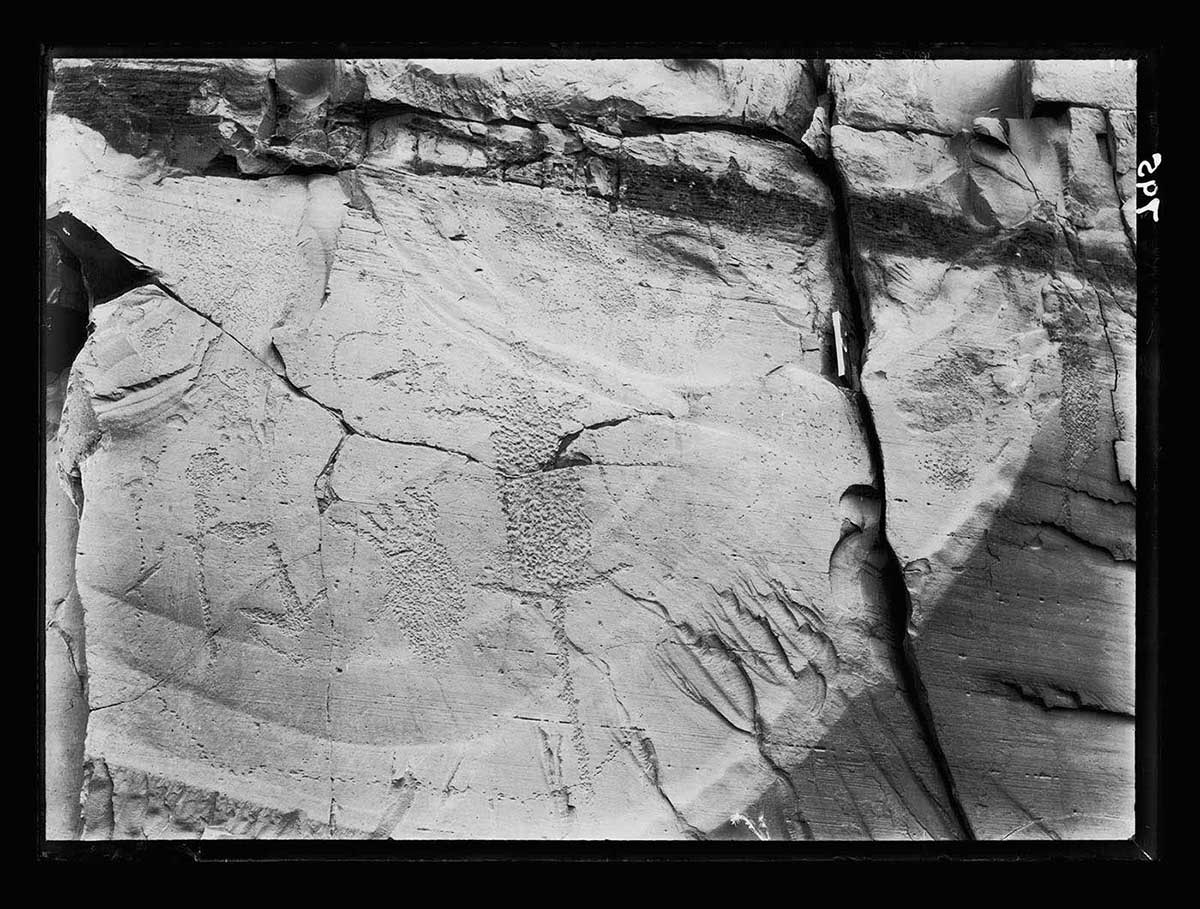
Basedow was convinced the engravings were of some antiquity. However, as with all scientists and researchers of his time, he was hampered by the lack of direct dating techniques.
In 1914 he published an article describing the Flinders Ranges engravings. This was the first time these 'relics of the unique type of aboriginal art', as he called them, had been brought to the attention of the scientific world.
![Map outlining the expedition through the Flinders Ranges in South Australia. The sylised map shows the land mass in an ochre yellow colour and sea areas in dark brown. Four inland lakes are indicated on the map by blue shapes. There is no information in regard to other surface features such as contours and transport. Locations such as Adelaide, Port Augusta, Marree, Leigh Creek and the Flinders Ranges are indicated on the map. The eastern South Australian border is visible at the far right of the map. The intersection of the South Australian, New South Wales and Victorian borders is just visible in the bottom right corner of the map. A small white map of Australia is in the upper left hand corner, showing the expedition area as a small vertical rectangle.](https://www.nma.gov.au/__data/assets/image/0006/766266/Flinders-Ranges-map-1020w510h.jpg)
Read more on the Survey of the Flinders Ranges
- Download Flinders Ranges expeditions411.0 kb pdf [ PDF | 411.0 kb ]